
The ultra-light spinning outfits were gone. We backtracked, scanned the roadside, but were unable to recover the rods. Without dwelling on my mishap, too much, we turned the truck around and headed north. Losing two rods before we get to the river is not a great way to start a trip.
We crossed the Blue Line on NYS Rt #3 at 0800 hrs and arrived in Childwold to meet Butch at 0855. About 15 minutes behind schedule. The skies were bright blue and cloudless on the first day of our trip. At 0930 we made our way to the take-out where I would leave my truck.
After moving our outfit from my truck into Butch’s, we departed for the put-in. The put-in is a remote location. It is a sliver of state land, in the middle of nowhere, surrounded by private land. To get there requires a long drive. In a straight line, from where my truck sets at the take-out, to where we will enter the river, the distance is just over 13 miles.
Travel on the road will take us an hour and a half to reach the put-in. The last seven miles of which is on a logging road. The words “logging road” may evoke a picture in your mind of a rutted, rocky, boulder garden that is barely navigable. This logging road, however, you could drive a Porsche at 50 miles per hour.
The forest we were navigating through is heavily logged and the timber companies take great care of the roads. The 18 wheelers needed to transport logs and forest products (wood chips) require safe and efficient roads. This road, managed by private timber companies via an easement with New York State, is in way better shape than any New York State secondary road in the Park.
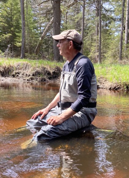
The road reaches its farthest northern point, around the 7.5 mile mark, then makes a horseshoe turn to the south. This bend in the road is where John and I jump off. From here we have a simple half-mile of bushwhack, through hardwoods and spruce swamp, to the river we are to descend for the next three days.
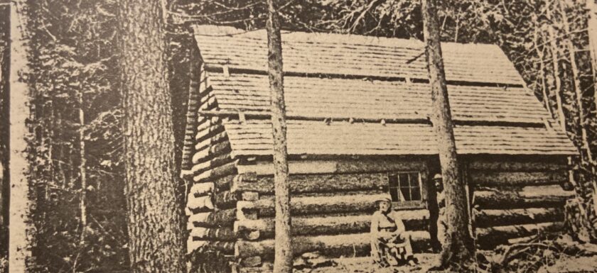
Before Butch left I showed him our itinerary. A USGS 24 minute quadrangle map was laid on the tailgate and I traced my route on the map for Butch to see. I also showed where we planned to camp each night with GPS UTM coordinates for each location. He was to expect us back in Childwold for dinner in three days.